UN
8 Rowley
£ 285,000
Description
We don't have a Description for this property.
- Bedrooms
- 2
- Bathrooms
- 0
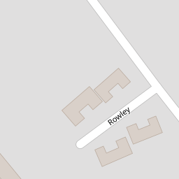
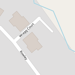
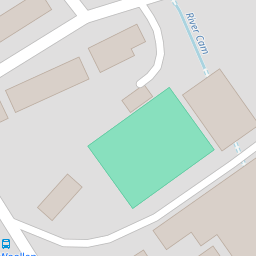

Leaflet © OpenStreetMap contributors
The heatmap indicates the level of crime in the area. The color of the heatmap indicates the crime severity and recency.
Metrics Year-on-Year
- Average area value
- 245,826.00 £Increased by 10.01 %
- Average area rental value
- 977.00 £/moIncreased by 18.57 %
- Est rental Yield
- 4.77 %Increased by 7.92 %
- Crime Rate
- 17.00 %Unchanged by 0.00 %
from 223,464.00 £
from 824.00 £/mo
from 4.42 %
from 17.00 %
Nearby Schools
| Name | Type | Ofsted | Distance |
|---|---|---|---|
| Cam Everlands Primary School | Community School | Good | 0.70 KM |
| Cam Hopton Church Of England Primary School | Voluntary Aided School | Good | 0.75 KM |
| Rednock School | Foundation School | Good | 1.63 KM |
| Cam Woodfield Infant School | Community School | Good | 1.65 KM |
| Cam Woodfield Junior School | Academy Sponsor Led | 1.65 KM |
Images
Nearby Streets
| Name | Average Price | Average Sqft | Distance |
|---|---|---|---|
| Station Road | £ 494,000 | 0 | 0.00 KM |
| Orchard Close | £ 0 | 0 | 0.00 KM |
| Hill Close | £ 255,000 | 0 | 0.00 KM |
| Cam Pitch | £ 215,000 | 0 | 0.00 KM |
| Old Barn Court | £ 0 | 0 | 0.00 KM |
Nearby Transport
| Name | NLC | TLC | Distance |
|---|---|---|---|
| Cam And Dursley | 3238 | CDU | 1.92 KM |
Nearby Listings
| Address | Price | Type | Score | Distance |
|---|---|---|---|---|
| Cam, Gloucestershire | £ 500,000 | BUY | 6 / 10 | 0.01 KM |
| Rowley, Cam | £ 335,000 | BUY | 6 / 10 | 0.04 KM |
| Rowley, Cam, Dursley, GL11 5NT | £ 825,000 | BUY | 7 / 10 | 0.10 KM |
| Chapel Street, Cam, Dursley, GL11 5NX | £ 750,000 | BUY | Unknown | 0.11 KM |
| Chapel Street, Cam, Dursley | £ 245,000 | BUY | 6 / 10 | 0.12 KM |